


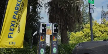


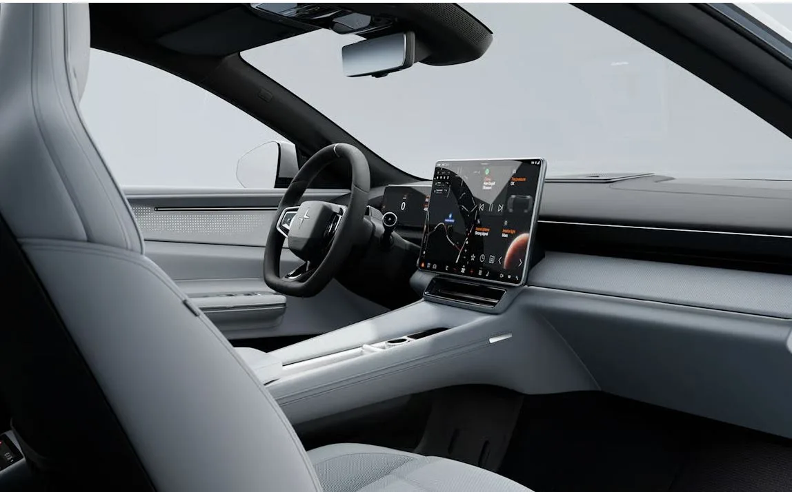
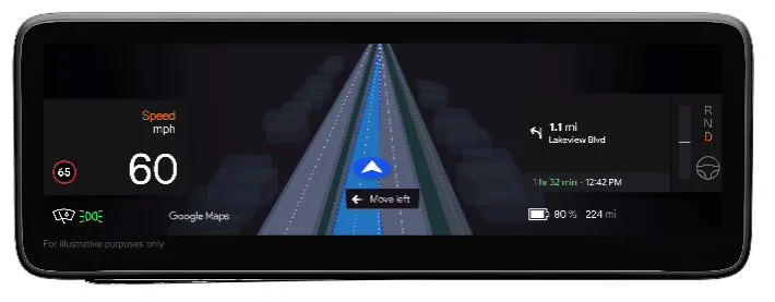
Google Maps is introducing AI-powered live lane guidance for cars with Google built-in, debuting on the Polestar 4 in the United States and Sweden in the coming months.
The feature is designed to ease last-minute lane changes at complex junctions by allowing Maps to “see” road markings and signs through the car’s front camera, then match them with its navigation data in real time.
If a driver is in the wrong lane for an upcoming exit, the system issues clear visual and audio prompts to merge safely, supplementing existing real-time traffic, ETA and incident alerts.
Google said the technology, powered by on-vehicle AI and fed by over two billion monthly Maps users worldwide, will expand to more models and road types through partnerships with additional carmakers.
In a separate update underscoring its push to blend AI, mapping and exploration, Google has also brought the full TransAmerica Trail to Street View in collaboration with Ford.
The 9,495km off-road route, stretching from Oregon to North Carolina, has been captured using a Ford Bronco equipped with the latest Street View camera.
The imagery lets overlanders and everyday users virtually scout remote gravel tracks, steep passes, forests, deserts and river crossings before committing to the real journey, offering a safer and more informed way to plan one of America’s most demanding drives.
Together, the live lane guidance rollout and TransAmerica Trail project represent Google Maps’ next phase: smarter in-car assistance and richer, more immersive views of the world.


